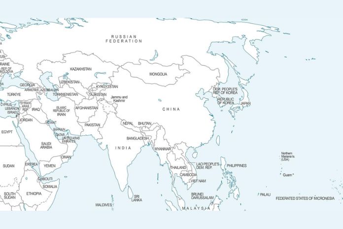
A newly issued United Nations world map has sparked debate in India after it showed Arunachal Pradesh and Aksai Chin as areas lying between separate “Indian” and “Chinese” claim lines. The depiction comes days after India supported a UN resolution on fairer world maps, prompting New Delhi to clarify that its borders remain non‑negotiable.
What the UN map depicts
The UN map, released on July 1, 2026, uses distinct lines to mark contested frontiers in the India–China border region:
- In Arunachal Pradesh, the map shows:
- The southern boundary with Assam as a “Chinese Line”.
- The northern boundary with Tibet as an “Indian Line”.
- No clear boundary with Nagaland.
- In Aksai Chin, which India considers part of Ladakh:
- The eastern borders are labelled the “Indian Line”.
- A “Chinese Line” separates Aksai Chin from the rest of Ladakh.
- In Jammu and Kashmir, the Line of Control (LoC) with Pakistan appears as a dotted line, accompanied by a note saying the final status is unresolved. No similar explanatory note is provided for the “Indian” and “Chinese” lines around Arunachal and Aksai Chin.
While the map does not explicitly label these markings as “disputed”, their placement effectively presents the regions as contested between India and China.
Context: UN’s “Correct the Map” resolution
The controversy follows India’s backing of a UN General Assembly resolution titled “Correct the Map: Rebalancing Global Cartographic Representation and Promoting Equitable Representation of the World’s Regions, Particularly Africa”, adopted on September 4, 2026. The resolution encourages the use of equal‑area map projections, such as the Equal Earthmap, to show the true relative sizes of continents.
New Delhi stressed that its “yes” vote was only about map projection, not about political borders. The Ministry of External Affairs (MEA) said the resolution:
- Does not adopt or authenticate any specific world map.
- Does not deal with international boundaries, disputed territories, or place names.
India’s firm response on borders
On September 6, 2026, the MEA issued a clear statement after questions arose over how the UN map showed Indian territory:
- India’s sovereign territory, including the Union Territories of Jammu and Kashmir and Ladakh, must be depicted in line with India’s official map.
- Any “inaccurate or misleading” depiction is unacceptable.
Indian officials reiterated that support for the UN resolution should not be read as endorsement of any particular border depiction. The focus, they said, is on correcting distortions in how continents are sized, not on altering political boundaries.
Why this matters
For India, maps are closely tied to sovereignty. Official Survey of India maps show Arunachal Pradesh and the entire Jammu and Kashmir region, including Aksai Chin, as integral parts of the country. The UN map’s use of separate “Indian” and “Chinese” lines, without an explanatory note, is seen in New Delhi as potentially normalising the idea that these areas are disputed.
The issue also arrives amid heightened India–China mapping tensions. Earlier in August 2026, India standardised names for 27 locations in Arunachal Pradesh on its official maps, a move that drew a sharp protest from Beijing.
Bottom line
The UN’s new world map has renewed focus on how international bodies depict sensitive border regions. While the UN resolution aims to improve cartographic fairness, India has drawn a firm line: any map used in UN contexts must respect India’s official boundaries, especially in Jammu and Kashmir, Ladakh, and Arunachal Pradesh.